
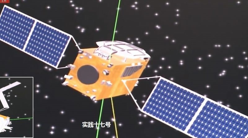
In-Space Eavesdropping? – China’s Shijian-17 completes High-Altitude Link-Up

China’s Shijian-17 satellite this week linked up with another satellite in Geostationary Orbit and has entered a path closely shadowing the resident object in continued testing of rendezvous and situational awareness technology in the high-orbit regime – a self-prescribed goal of several nations faced with ongoing space militarization efforts.
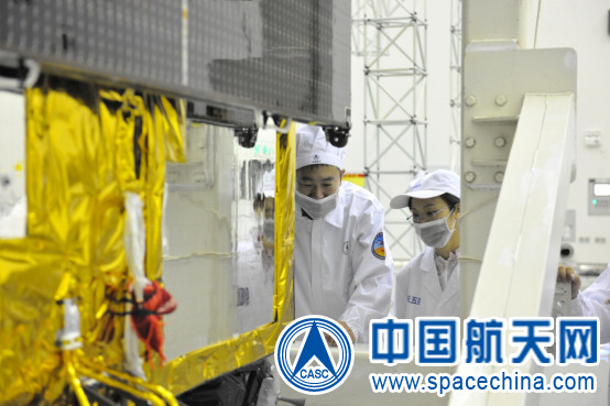
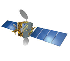
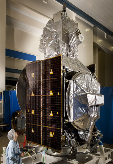
Shijian-17 – officially classed as an experimental satellite – was launched on the first flight of China’s Long March 5 rocket, completing its maiden mission on November 3, 2016. Lifted into orbit by the most powerful Chinese rocket ever built, Shijian-17 then enjoyed a six-hour flight atop a Yuanzheng-2 upper stage which was responsible for directly delivering the satellite to a drift orbit slightly above the Geostationary Belt, 36,000 Kilometers over the equator – home to a vast population of satellites supporting communications, weather forecasting and national security.
Officially, SJ-17 has been identified as a technical demonstrator satellite for a new satellite platform, testing higher-performance solar cells, new structural components, a green propulsion system consuming non-toxic propellants, and debuting a Hall-Effect Thruster system for use on future Chinese GEO satellites.
Additionally, official media reported, Shijian-17 would be tasked with communications services, a demonstration of navigation in the high-orbit regime, and testing an imaging system for the identification of space debris at high altitude.
The use of a combination of chemical & electric propulsion strongly suggested SJ-17 was in for quite some maneuvering once reaching its planned orbit – possibly to employ its optical sensor to look at more than just space debris.
The satellite drifted at 20 degrees per day until November 10 when it reduced its orbital altitude and continued drifting at 10 degrees for another day before a pair of maneuvers placed the satellite in a stationary position with its velocity matching that of Earth’s rotation.
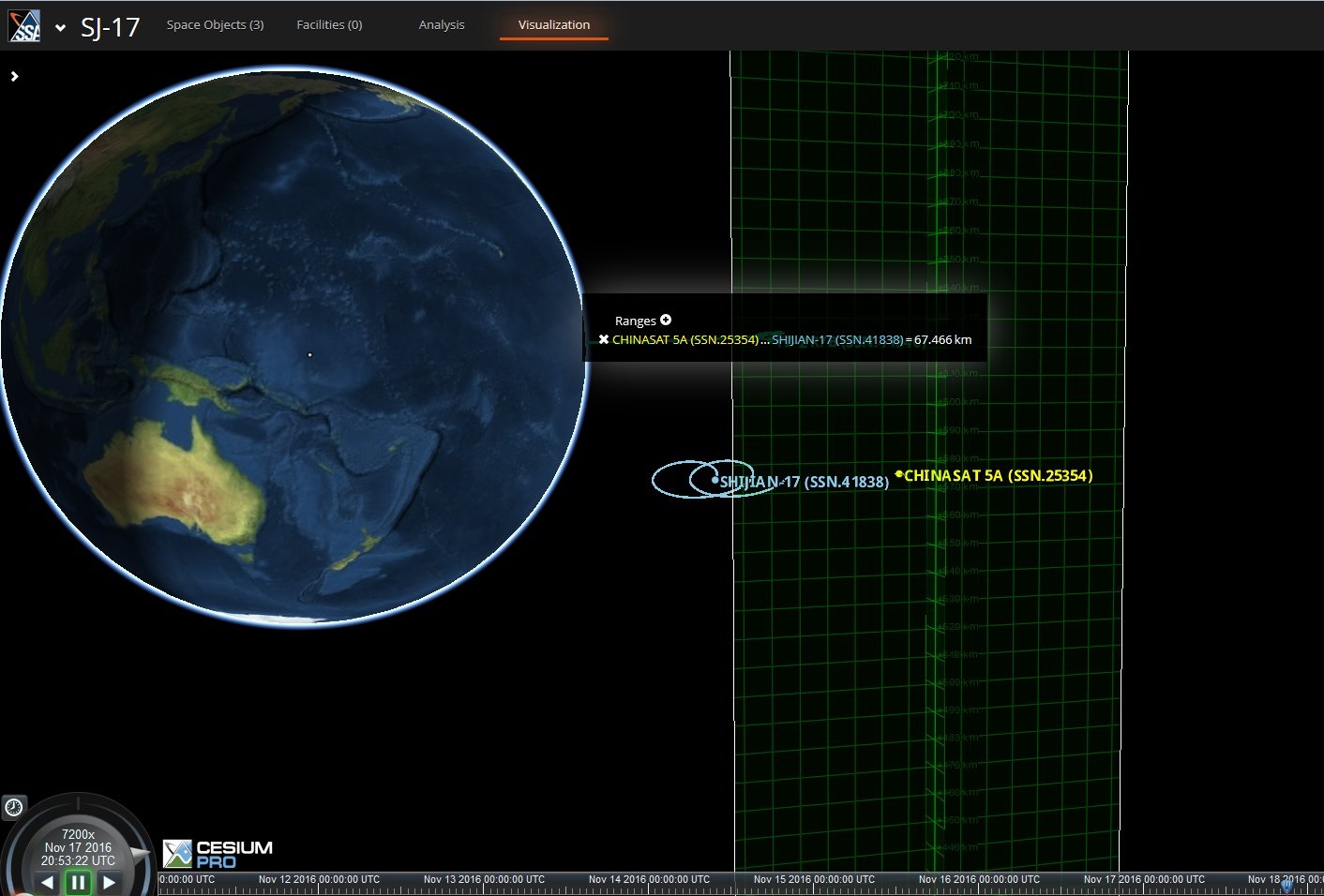
Orbital tracking showed the SJ-17 satellite entering station at 162.9 degrees East, in close neighborhood to the ChinaSat-5A communications satellite residing at 163.06°E – a first indication that a close rendezvous at high-altitude might be in store.
Analytical Graphics, Inc.’s (AGI) Commercial Space Operations Center (ComSpOC) chose the Shijian-17 mission to showcase their orbital tracking and space situational awareness services, employing a suite of sensors to follow the satellite’s every move since arriving in Geostationary Orbit.
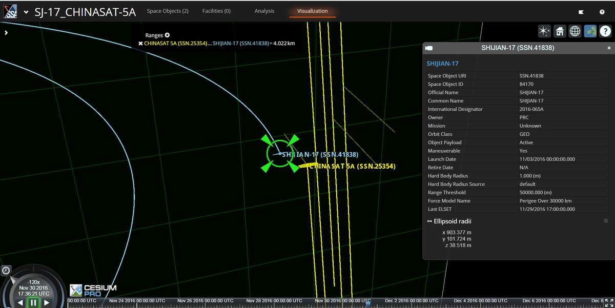
According to AGI, Shijian-17 was within 100 Kilometers to ChinaSat-5A on November 17 and continued on towards a flyby at a distance of only four Kilometers at ~17:36 UTC on November 30. By this week, Shijian-17 “entered into a co-planar circumnavigation of ChinaSat-5A, remaining 86 to 115 Kilometers away,” AGI Tweeted based on their tracking data. Publicly available tracking elements confirm a close angular separation of the two objects at under 0.05 degrees as of Friday, December 9.
Shijian-17’s target was launched in 1998 atop a Long March 3B rocket and is a commercial communications satellite initially operated by a company owned by the Chinese Telecoms Ministry before being handed over to China Satcom which leased the satellite to APT. ChinaSat-5A has already surpassed its 15-year service life and is likely close to retirement – making it a safe target to approach to very close distance.
The observed maneuvers provide clear clues on the intent of the SJ-17 mission as a Space Situational Awareness pathfinder, testing navigation technologies to link-up with resident objects in Geostationary Orbit – getting sufficiently close to capture optical imagery of the object and shadowing it at close distance to intercept its uplink communications.
Choosing a satellite under Chinese operation for this first test avoids any potential political fallout that would have been a certainty when closing in on a foreign GEO satellite be it under commercial or government operation.
A similar project operated by Russia, known as Olymp or Luch, caused an uproar in 2014 when the mysterious satellite was launched into Geostationary Orbit atop a Proton rocket and began cozying up to commercial communications satellites operated by Intelsat – likely in an effort to test out whether the satellite would be able to suck up information beamed up to the commercial satellites. Olymp conducted a number of re-locations and shadowed different satellites over the course of 2015, coming to within five Kilometers in some cases, and its curious behavior continued in 2016.

America’s intelligence agencies also employ Geostationary Listening Posts – parking spy satellites close to foreign communications satellites to be able to eavesdrop on various types of communications including satellite phone conversations and all data flowing through commercial communications satellites the spy agencies could not access through their ground-based information-gathering efforts.
More: Secret Endeavors of Mysterious Spy Satellite revealed in Snowden Documents
The U.S. also operates the Geosynchronous Space Situational Awareness Program which, to date, deployed four patrolling satellites into near-Geostationary Orbit to characterize resident GEO objects by collecting high-resolution imagery and studying radio emissions from satellites.
With the recent maneuvers of Shijian-17, China joins the U.S. and Russia in possessing an ability to engage in high-altitude intelligence-gathering, vacuuming up vast amounts of data beamed up to Geostationary Satellites.
Space-based intelligence gathering and Space Situational Awareness are two areas efforts were focused on over recent years in the ongoing militarization of space.
A third area that is pursued with great interest by several nations is learning the tools for robotically handling satellites which, of course, could be used to tamper with foreign satellites as well as robotically servicing and protecting a nation’s own space assets.
China, in 2013, launched a trio of satellites that engaged in a variety of activities to demonstrate orbital rendezvous and capture maneuvers. Part of that group was the Shiyan-7 mission that became the focus of attention when the satellite separated an object and flew out to several Kilometers before closing in and re-capturing the object in what is understood to be a test of a robotic arm that could be used to capture satellites or other objects in space.
Earlier this year, China launched the Aolong-1 satellite that reportedly carried a robotic arm that could grasp space debris and launch them toward the atmosphere to test out one way of tackling the growing space debris problem. Technology developed for the peaceful purpose of space debris mitigation will not raise eyebrows, though may feed into development of military anti-satellite system, but the same is true for the U.S., Europe and Russian developments that have been observed in orbit in recent years.
More: China’s new Orbital Debris Clean-Up Satellite raises Space Militarization Concerns

China is also attempting to gain a leg-up on potential space-based eavesdroppers by developing ultra-secure communications that can not be intercepted by a third party like a Geostationary Listening Post. Earlier this year, China launched the Quantum Science Satellite – the first mission to test two-way quantum communications.
The use of correlated, or entangled photons – particles of light – to communicate provides the highest achievable security because – as theoretical physics postulates – any attempt to eavesdrop on or tamper with the system would cause the quantum state of the entangled photons to collapse, immediately making the presence of a third party known to the rightful operators of the system.
More: China’s Quantum Communications Satellite begins ambitious Testing Program
It remains to be seen whether Shijian-17 will become another satellite patrolling around GEO and shadowing other spacecraft like Olymp and America’s spy satellites have done or whether China keeps the mission to a purely experimental nature only involving its own space assets.
Nevertheless, with all the different programs under operation of various international agencies, operational autonomous, uncooperative rendezvous technology in all orbital regimes will be a reality in just a few years time and its potential for military use will continue to loom as a cause of international conflicts over the militarization of space.
