Biarri-Point CubeSat

Biarri-Point, formally known as the Biarri Risk Mitigation Flight, is a pathfinder mission in a defence-related project involving Australia, the U.S., Canada and the UK. The initial flight is dedicated to proving the 3U CubeSat platform in an operational environment before deploying a three-satellite constellation for a precision-formation-flying experiment.
Project Biarri is of a semi-classified nature with some program details known to the public but the overall scope and goals of the formation-flying mission have not been publicly stated. According to the Australian Department of Defence, part of Biarri’s mission will be flying the three satellites in different formations to provide targets for Space Surveillance Sensors.
Under the program, the U.S. is providing launch services and the satellite bus, the UK is in charge of the communications link, Canada provides the ground station infrastructure and Australia contributes space-qualified L1-only GPS receivers manufactured by BAE Systems and also conducts optical tracking of the satellites by means of laser retroreflectors.
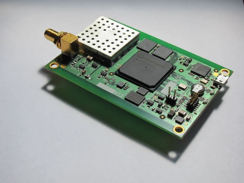
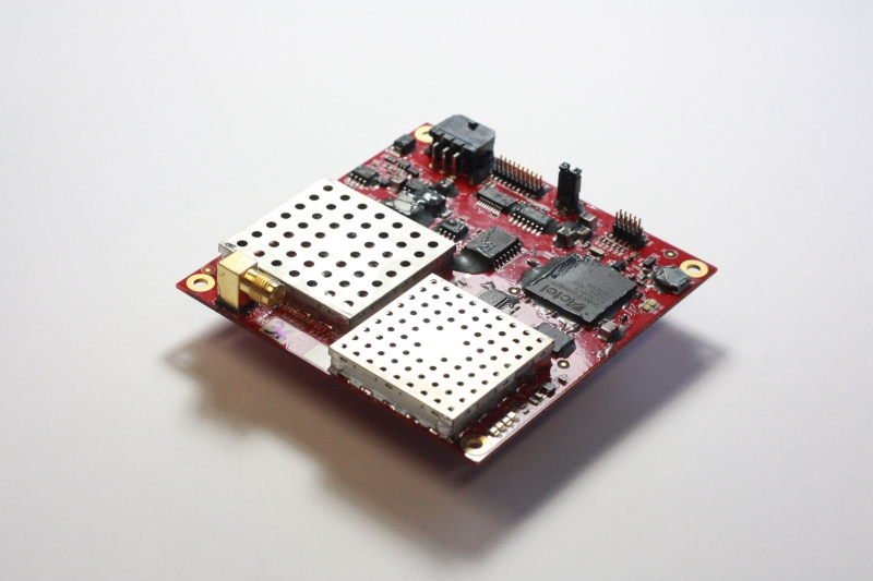
The Biarri satellites employ the Colony II satellite platform developed by the U.S. National Reconnaissance Office and manufactured by Boeing. The primary payload of the satellites is the Namuru GPS receiver and a microthruster system for formation adjustments. Namuru is a multi-channel L1 receiver capable of precise position measurements through GPS to provide the precise location of each constellation member relative to the others.