
Sentinel-3
>>Orbit Design & Mission Operations
Sentinel-3 is an Earth Observation mission operated by the European Space Agency and the European Commission under the GMES Program (Global Monitoring for Environment and Security), also known as Copernicus. Copernicus seeks to achieve an autonomous and operational Earth observation capability using several satellites to deploy a range of instruments to orbit for the collection of all relevant data needed for a complete monitoring capability of Earth in near real-time.
The program uses data provided by environmental satellites, and air & ground stations to provide a comprehensive set of land, atmospheric, cryospheric and oceanographic parameters in support of environment and security policy needs. Copernicus will be supporting six main branches of monitoring – land, ocean, emergency response, atmosphere, security and climate change. For that, the program relies on its space segment of observations satellites, and in-situ measurements using ground-based and airborne sensors. Data produced by Copernicus will be used by European policy-makers, but is also available free of charge for use in the scientific, civil and commercial sectors.
The GMES program was initiated in 1998 by the European Commission, and the GMES partnership between member states, space agencies and industry representatives was formed in 2001. The GMES Bureau was set up within in Brussels in 2006 and the GMES Fast Track Services and Pilot Projects were inaugurated in 2008 including Marine monitoring, Land monitoring, Atmosphere monitoring, Emergency response and Security. The European Space Policy recognized GMES as a European flagship mission next to the Galileo Navigation Satellite System – allowing in depth-studies for the space segment to commence.
For the initial phase of GMES, space-based data from current missions of ESA, EUMETSAT, and those of the ESA/EUMETSAT member states was used. To ensure the long-term sustainability of the operational program, GMES will establish its own dedicated space segment consisting of several satellites with different monitoring payloads. The project will become a part of the ‘Global Earth Observation System of Systems’ for which it will provide data products and also have access to GEOSS data products.
In 2012, GMES was re-named Copernicus by the European Commission to honor the great European scientist and observer, Nicolaus Copernicus. Deployment of the Copernicus satellite constellation began in 2014 using different launch vehicles including the Soyuz and Vega rockets operated by Arianespace as well as the Russian Rockot booster.
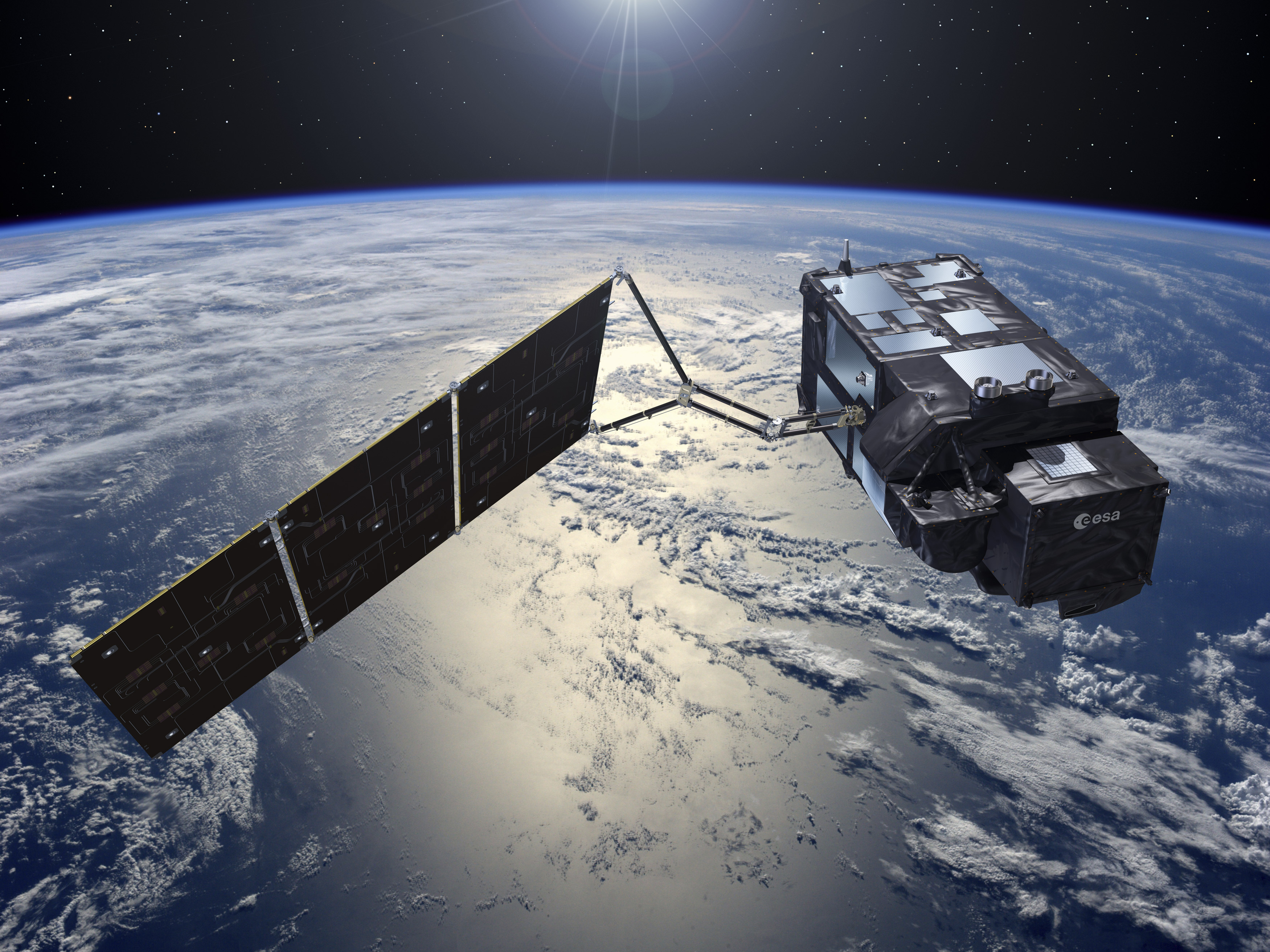
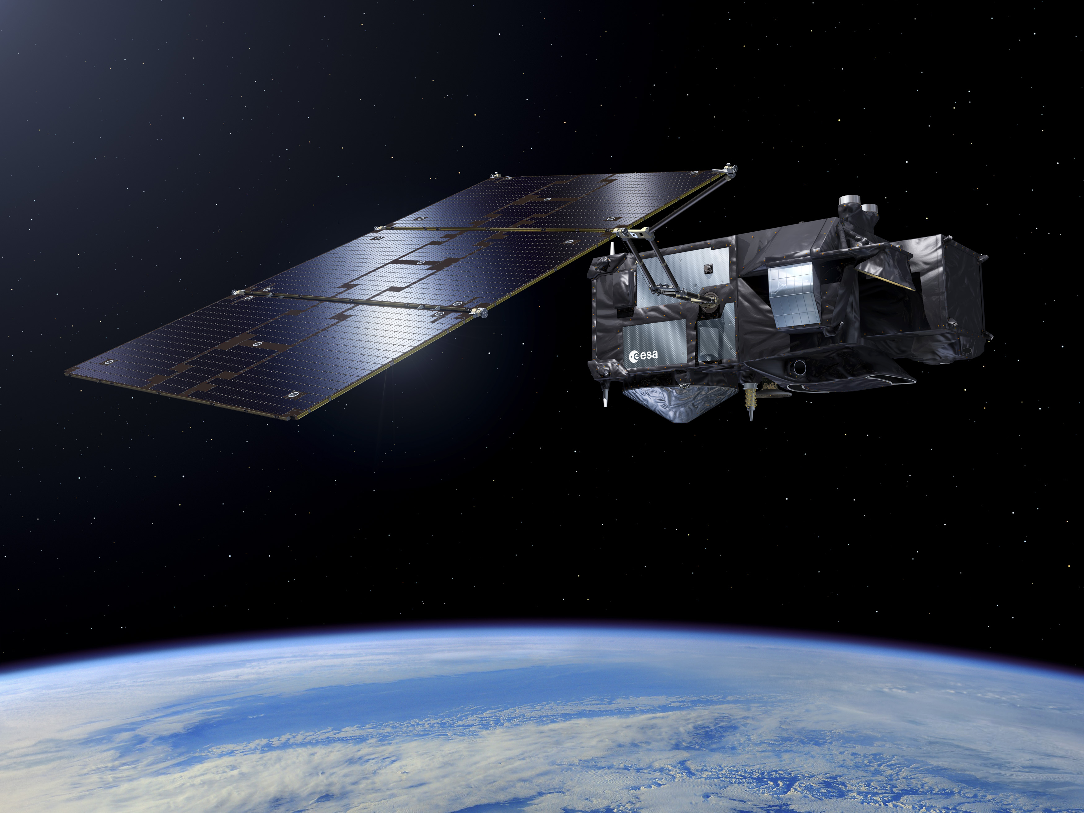
Within the framework of the GMES program, the Sentinel-3 mission is considered one of the most comprehensive given the satellite’s sensor payload that is capable of delivering relevant data for land, ice and ocean monitoring. The Sentinel-3 mission is designed as a two-satellite constellation for the provision of long-term operational marine and land-monitoring data.

As with the other Sentinel satellites, the Sentinel-3 mission was designed to support a high level of availability of data products and fast delivery times to users.
Sentinel-3 is primarily tasked with the collection of ocean and land color observation data at a revisit time of under four days and a quality matching that of previous missions. The satellites also collect global ocean and land temperature data with a revisit time of one day for single-look measurements and four days for more precise data. Furthermore, the spacecraft can deliver surface topography observations of land and ocean surfaces for the measurement of sea surface height, wave height over the ocean, and land surface elevation to cover ice regions. Data delivered by Sentinel-3 is also used in surface vegetation assessments with rapid Earth coverage.
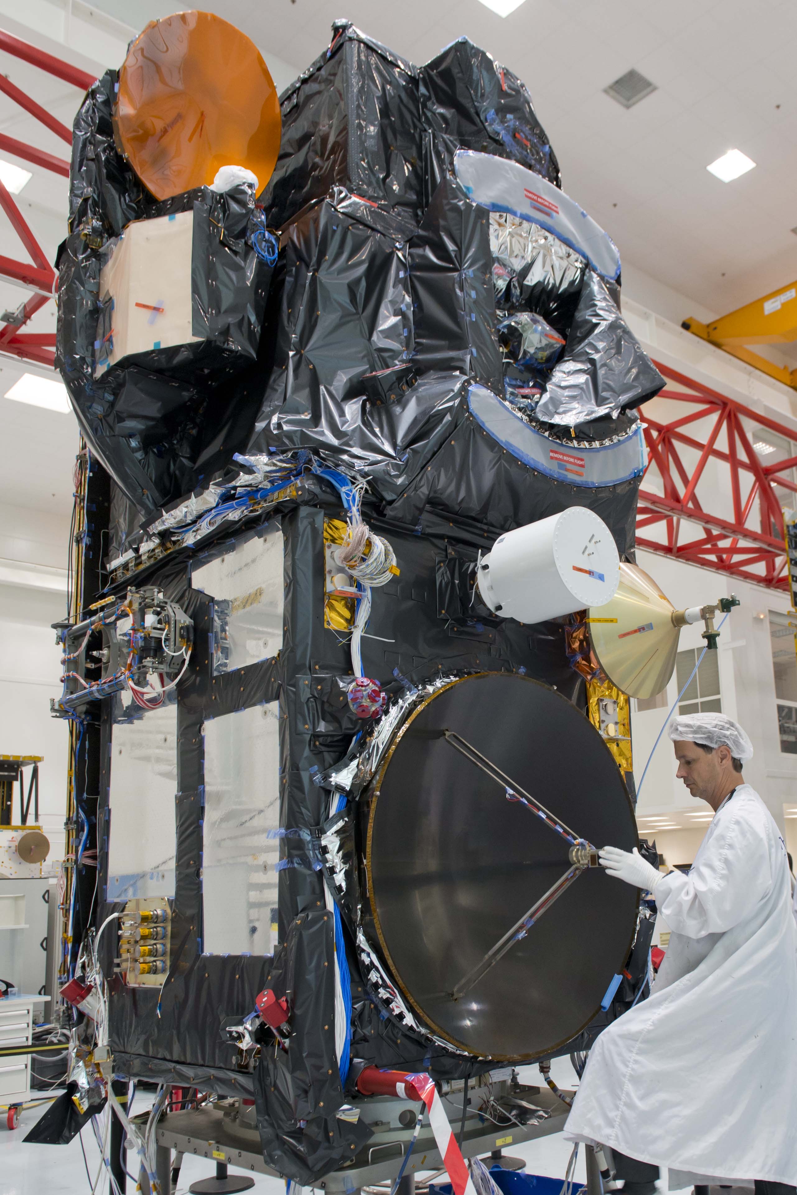
The first two Sentinel-3 spacecraft, both built by Thales Alenia, are set for launch in 2016 and 2017 to make up the operational constellation in polar orbits spaced by 180 degrees. A third satellite is on order for launch before 2020 to provide an in-orbit backup to meet the needs for assured access to operational Earth observation data. ESA awarded the contract for the first satellite to Thales Alenia in 2008 with a total value of €305 million. A duplicate spacecraft, Sentinel-3B, was ordered from Thales in late 2009.
